One issue that shared e-scooter riders in London face is navigating the map of the operating zone – both working out their allowed route using the smartphone apps, but also in the way their vehicle responds during their journey.
London’s zone has a “patchwork quilt” of slow-speed zones, out-of-bounds zones and parking blocks – collectively known as geofences.
This is the result of various bodies – Transport for London, the local councils, park agencies and waterways bodies – being involved in where the scooters can go and not go.
The problem is – if you have too many restrictions, it has the potential to turn a promising new mode of transport into a frustrating one. The proactive rather than reactive approach also results in some restrictions that are probably completely unnecessary.
Zag has tried all three of London’s fleets – Dott, Tier and Lime – and found that all three suffer from problems caused by overzealous boundaries which diminish the riding experience.
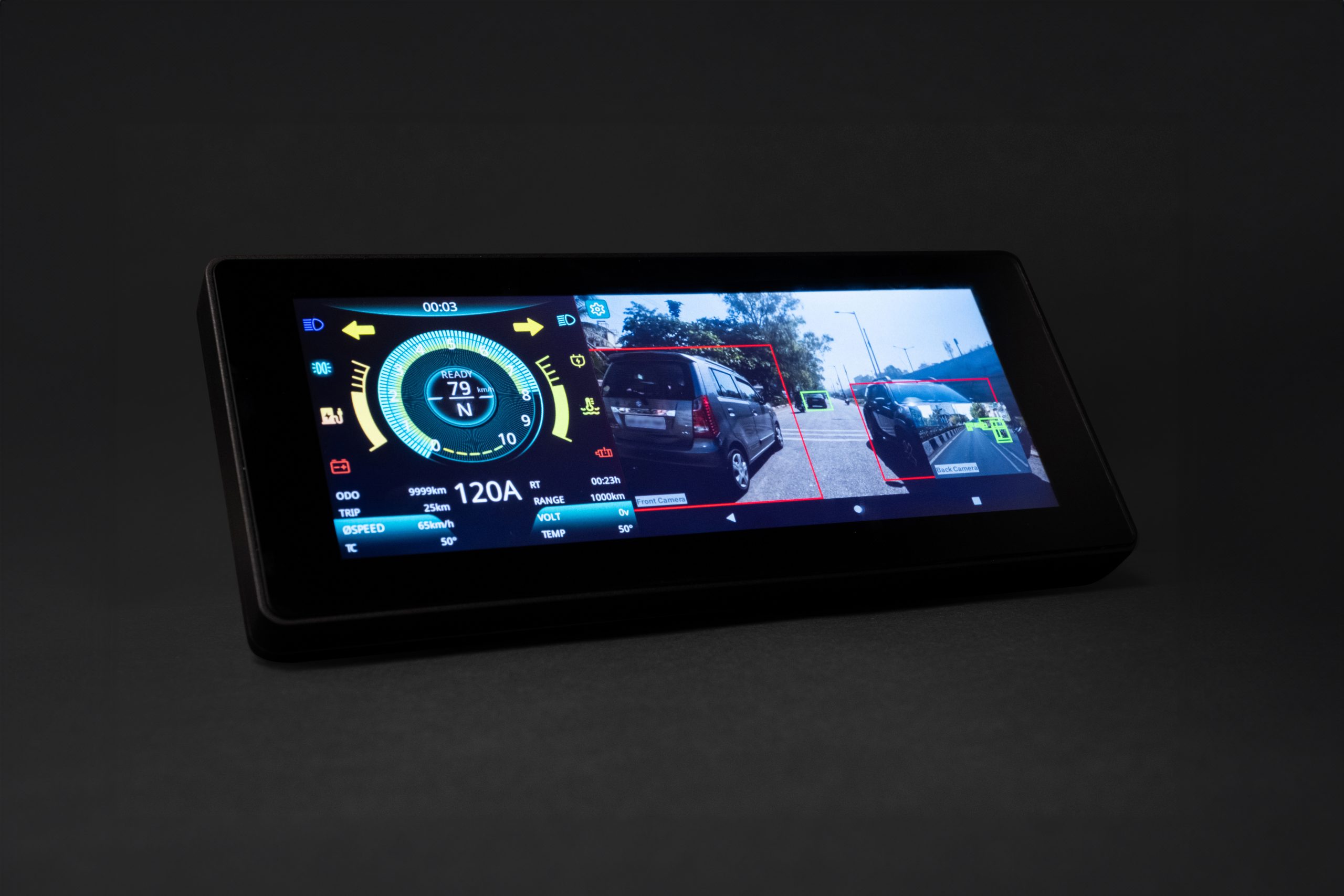
The issues are exacerbated by the inherent inaccuracy of GPS position – it can report you are up to 50 metres away from your actual position – or even more, if you are close to a tall building. Tier will be addressing this problem after partnering with next-generation mapping company Fantasmo.
But a wider problem is that the geofences have been drawn overcautiously and sometimes crudely. The most common restriction is in parks.
This is reasonable – e-scooters should not be zipping through many of our crowded parks. But the boundaries tend to be beside roads. In testing, passing on a road beside the park almost always caused the scooter to slow right down, either due to an inaccurate drawing or GPS errors.
When you are taking the lane on a busy road, traffic behind you is quickly going to get annoyed when you unexpectedly slow to 2mph. The scooters also don’t generally tell you what’s happened. In some cases, your phone app will alert, but it is not a great idea to be looking at your phone when scooting.
This first example shows an arbitrary slow zone surrounding a DLR station, in east London. It is impossible to travel down either surrounding road without passing it.
Presumably the intention is that as these might be busy areas, extra caution is needed. It is hard to believe though that slowing a scooter from 12mph to 8mph is going to make much, if any, of a safety impact.

In this map, of central Ealing, it is almost impossible to scoot along the roads here without bumping into a geofence shown in red, slowing you right down in traffic.

Zag had a look at the boundaries in other major European cities. In Paris, the geofences are much more sensibly drawn, they are almost always drawn back 50 metres or so into a park. This still stops scooter riders from crossing the park, but doesn’t get them blocking traffic on the roads as they pass alongside them.

Berlin’s geofences do slightly protrude out, but are generally drawn more carefully than London’s.

Of course, it is early days for London and there is time to refine the boundaries. But if they don’t, the experience may be so frustrating that it could drive away potential users.
Aerial imagery © Google Maps.